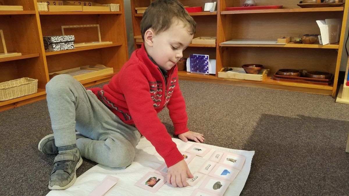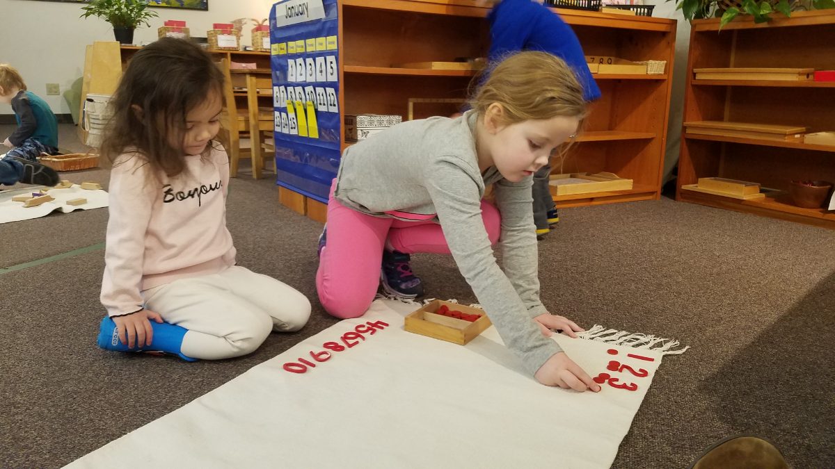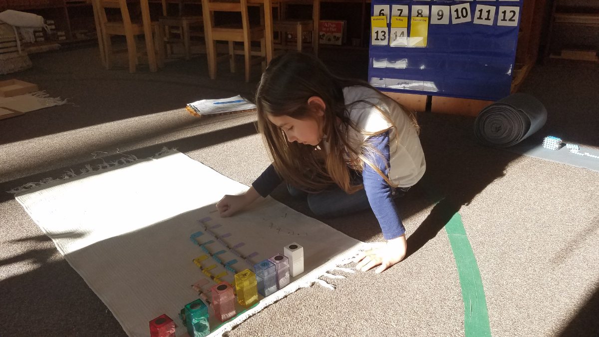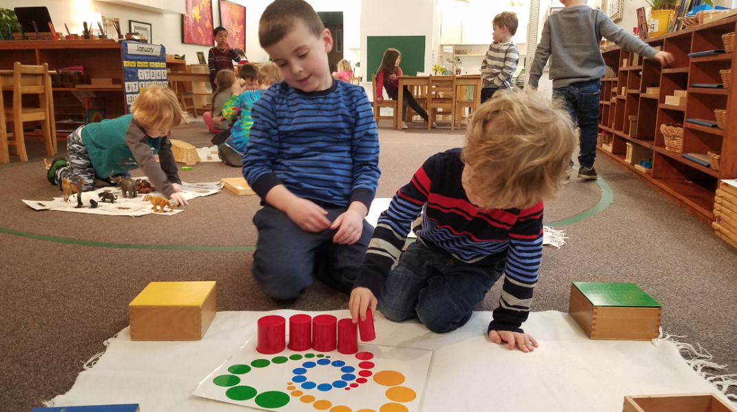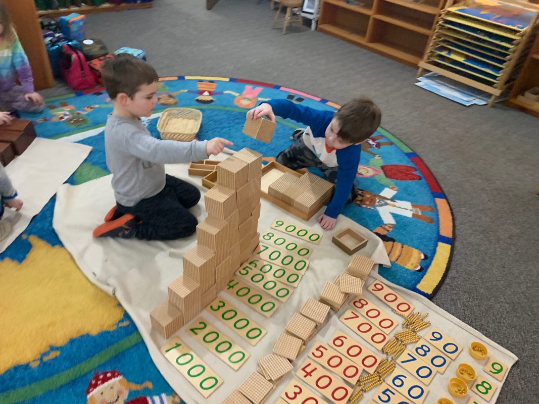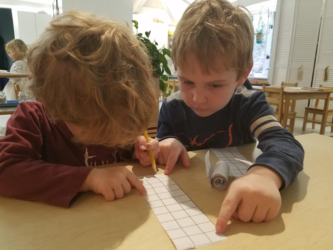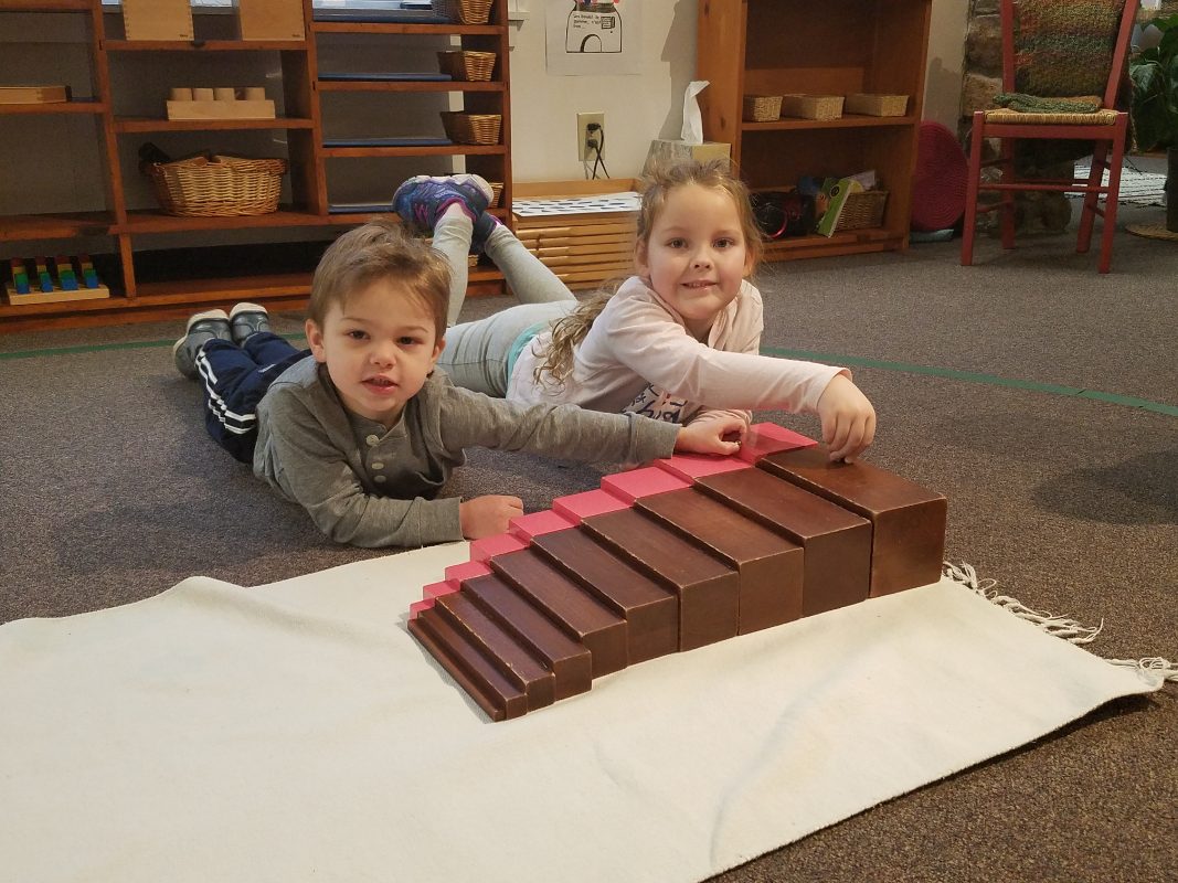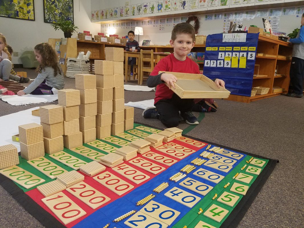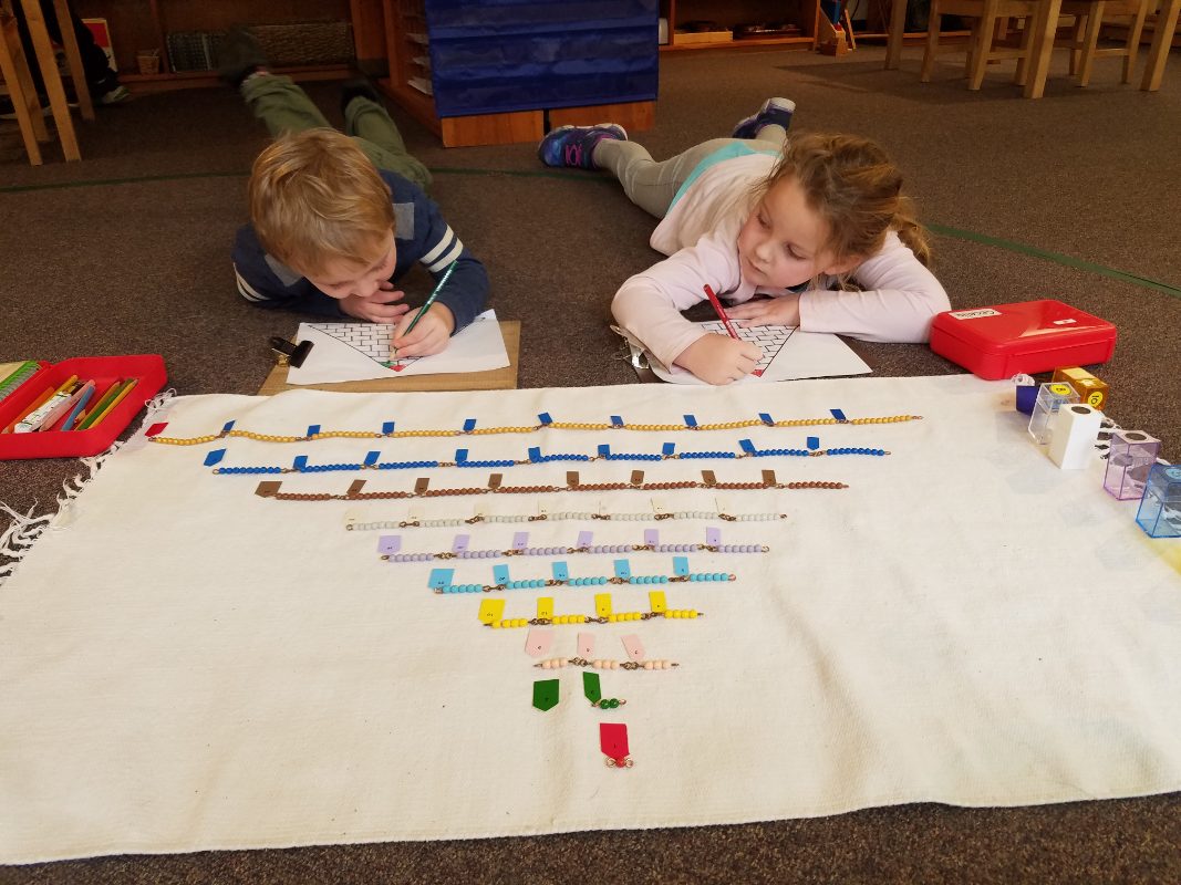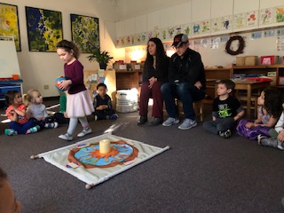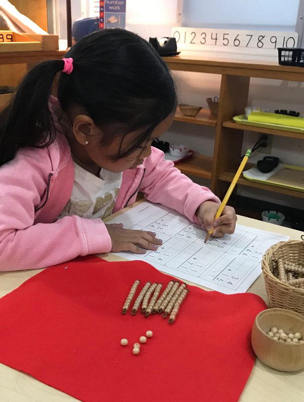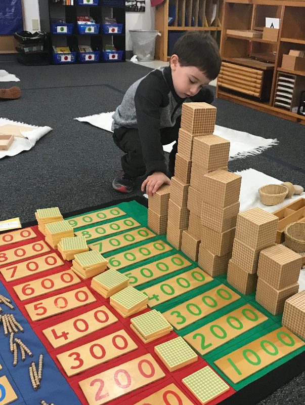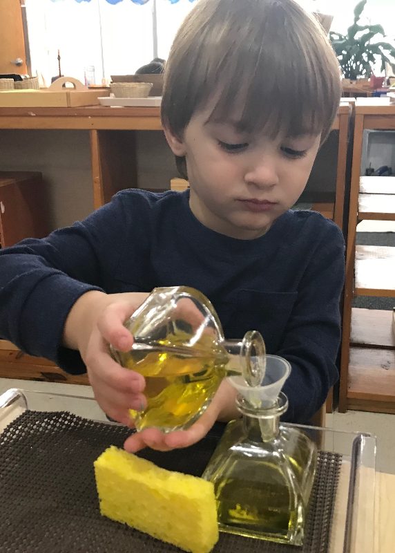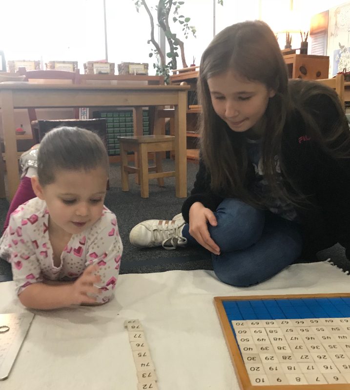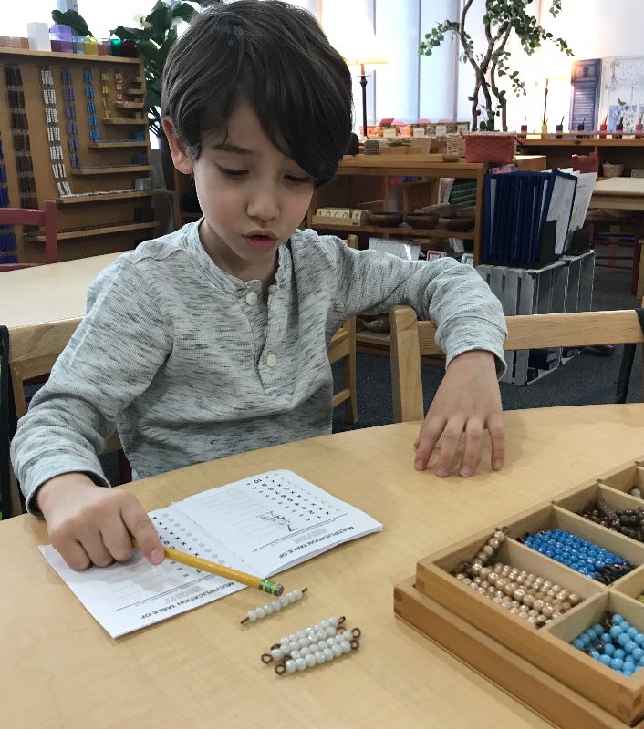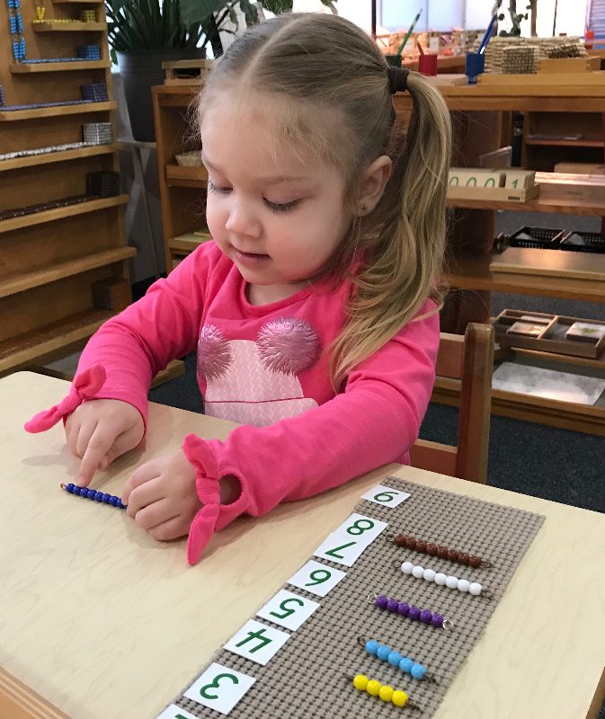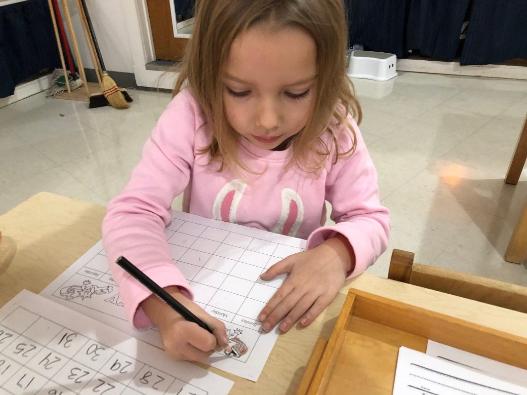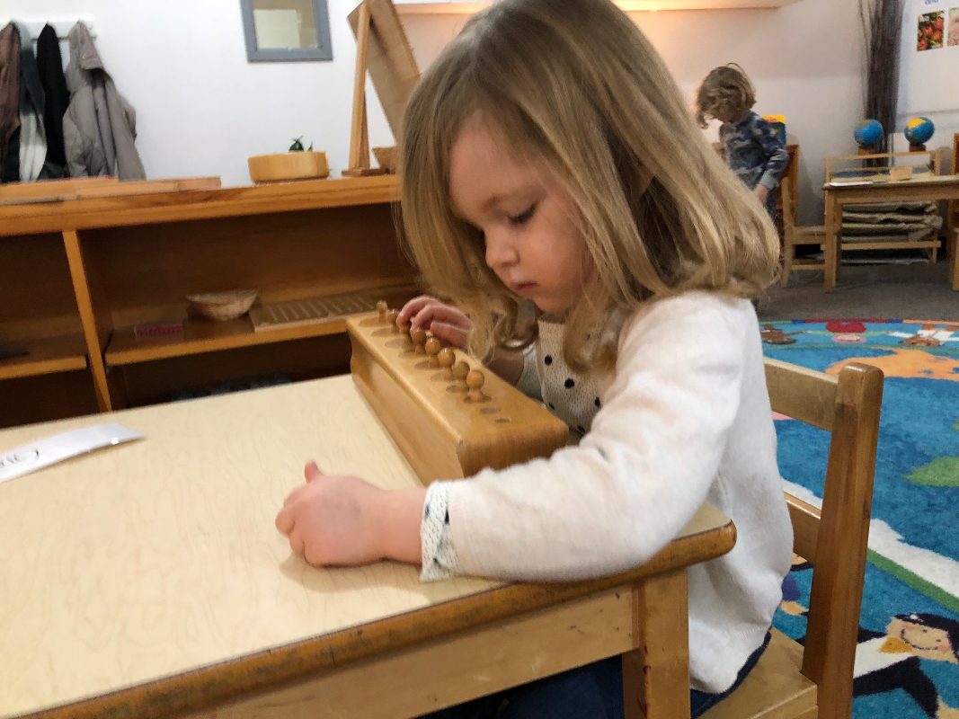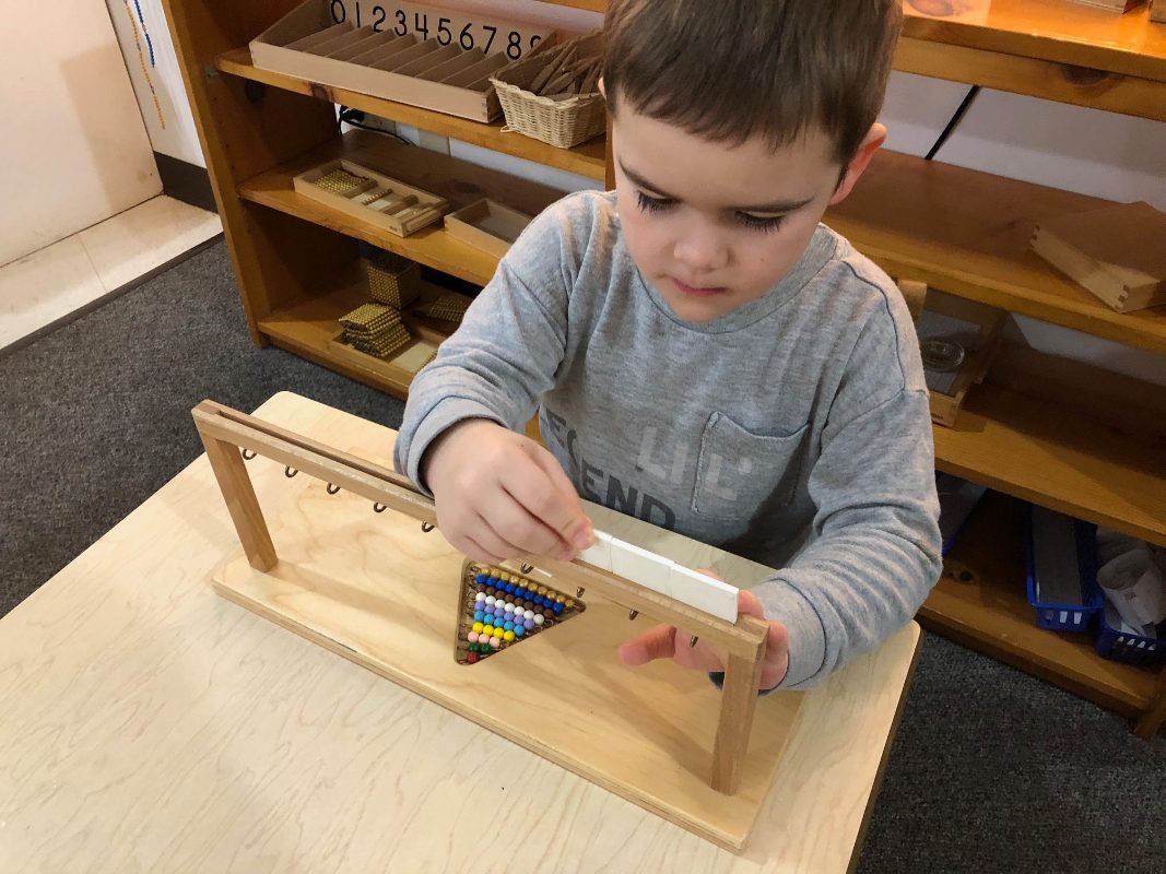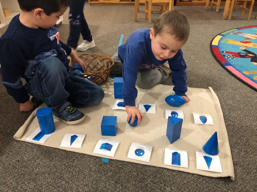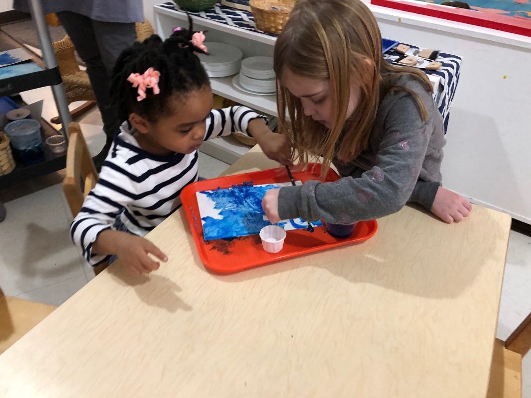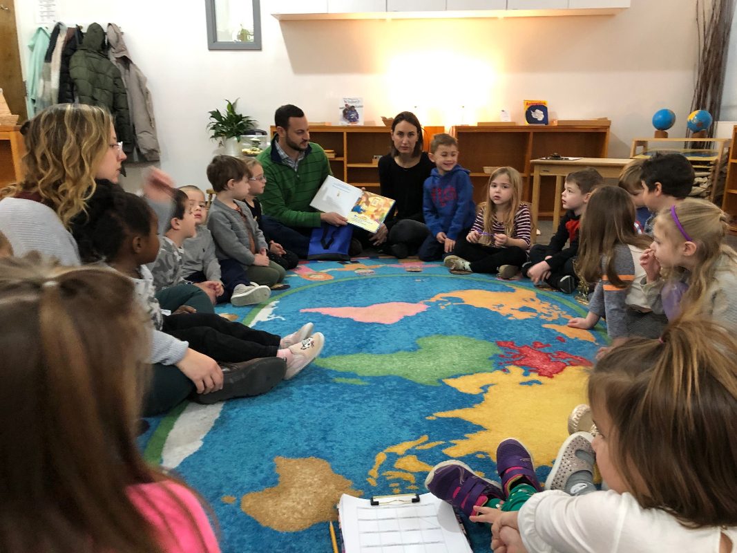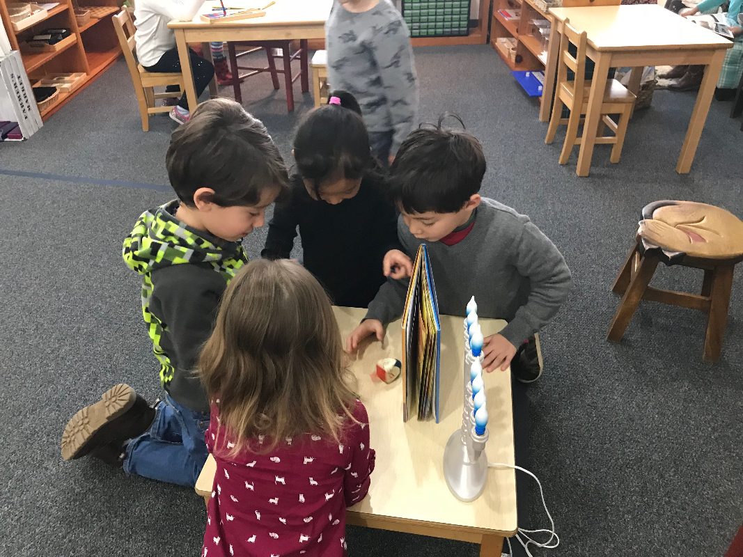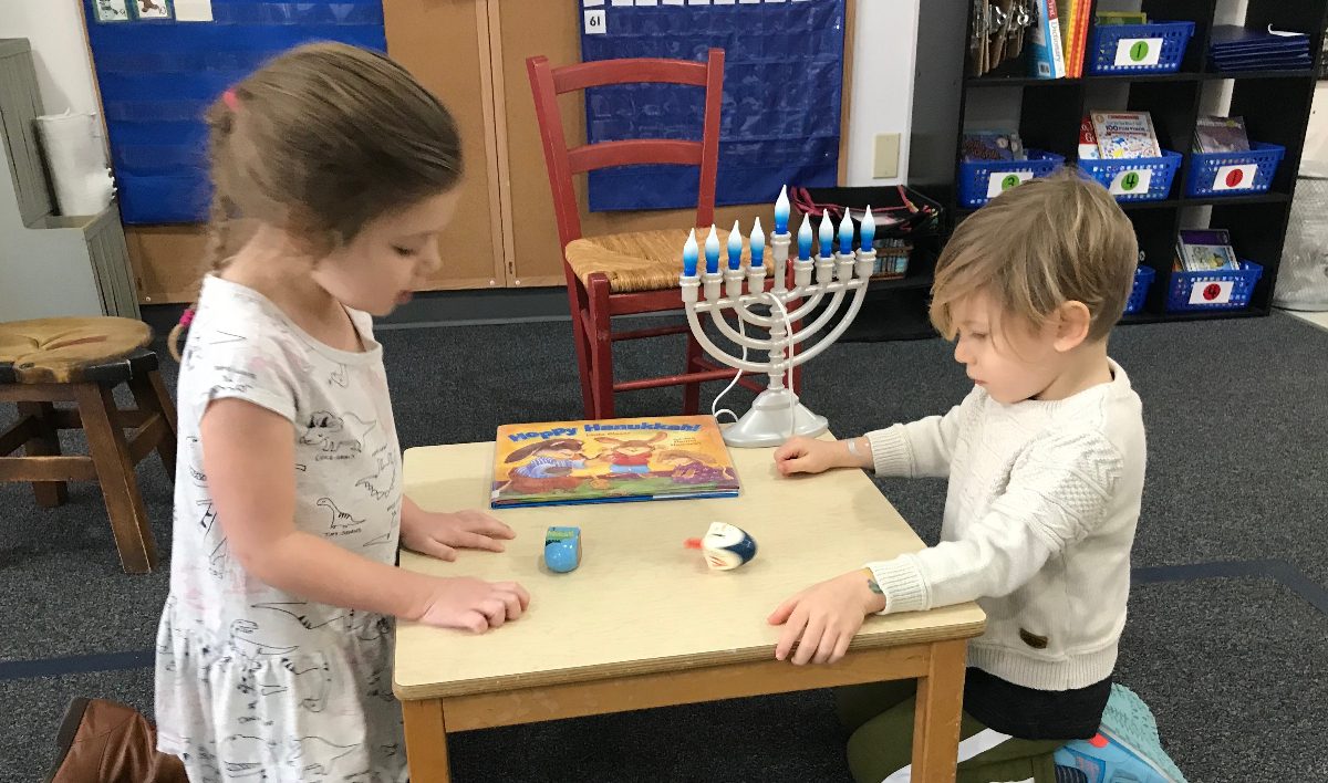
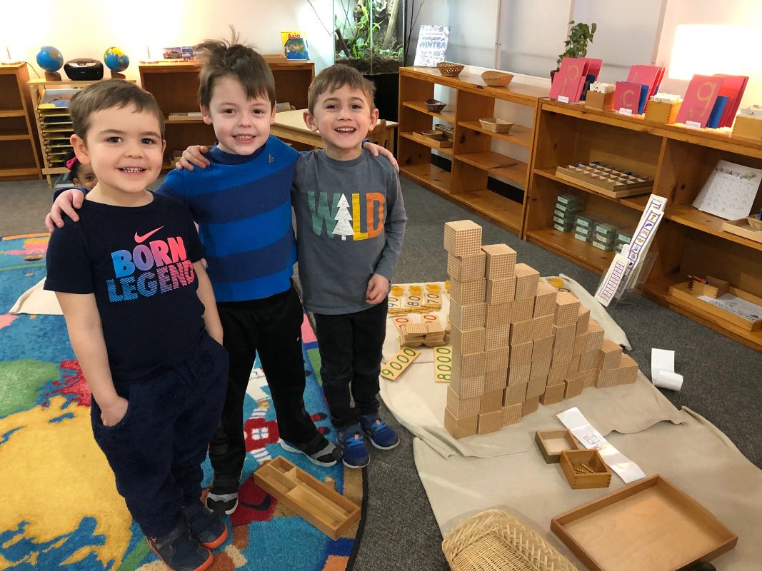
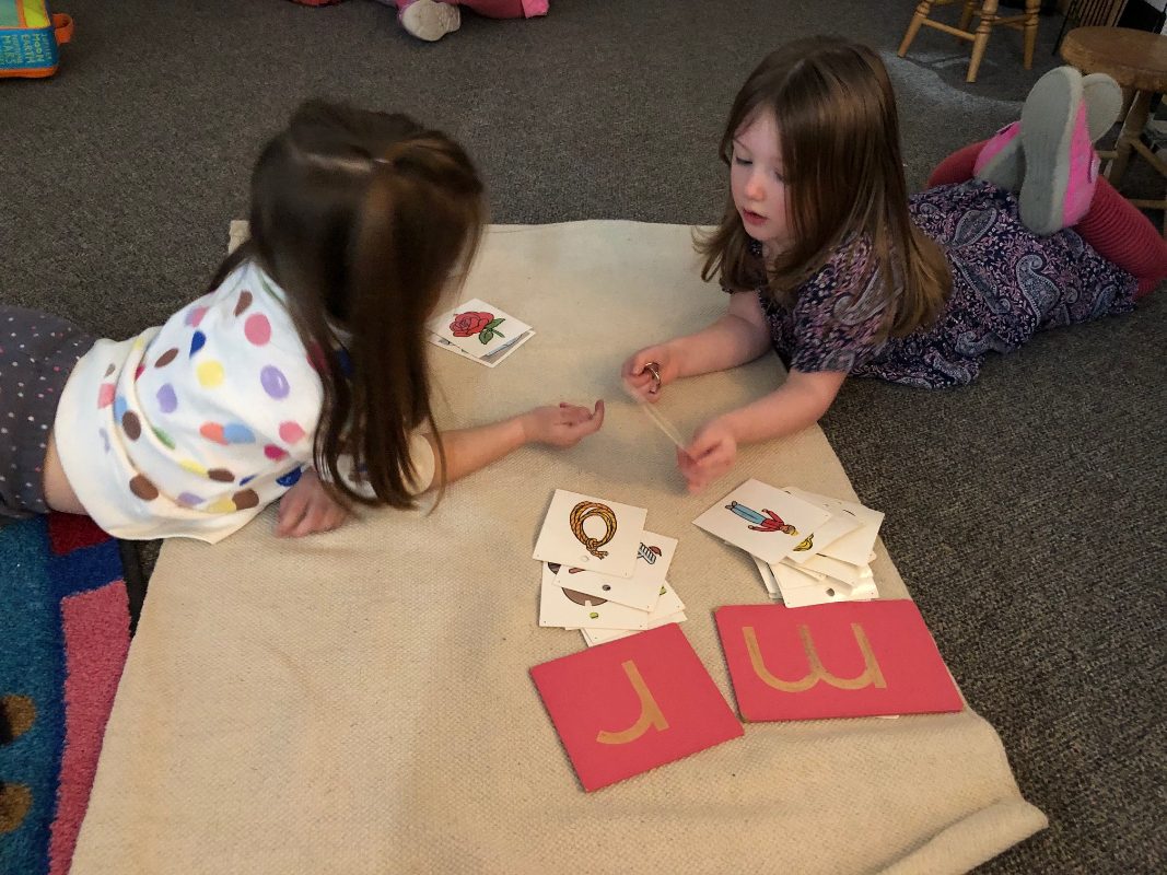
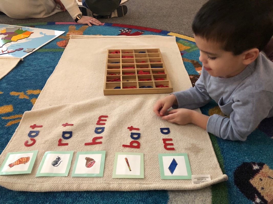
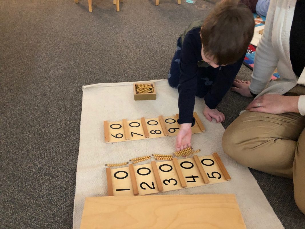
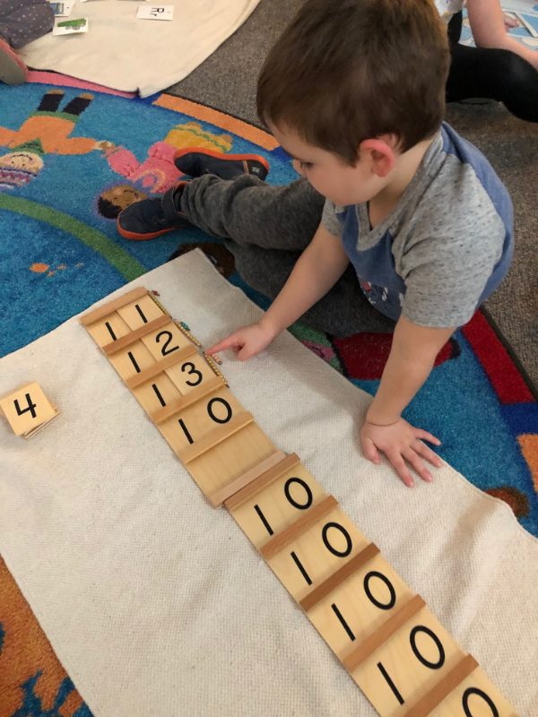


The afternoons in our classroom have such a harmonious tune to them. We begin by cleaning up after lunch as an entire class-each student delegating jobs and helping one another to return their environment to the state of order it was prior to lunch. Once the children are finished, we get to spend time within the environment working with the materials. The children love this extra work cycle that we get because of the freedom they have to explore. There are less children and more space for the older ones in the class to fan out and concentrate deeply on new or more time consuming works.
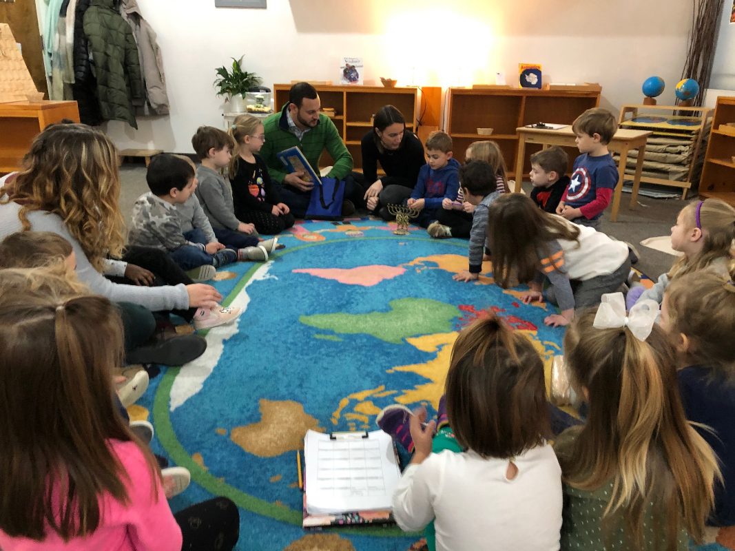
After a work cycle, the students get to immerse themselves into their age-appropriate program. Our four year olds get to enjoy working with Ms. Alli while our kindergarten students get to enjoy Reading or Writing Workshop with me. This time for the students is something they look forward to everyday!
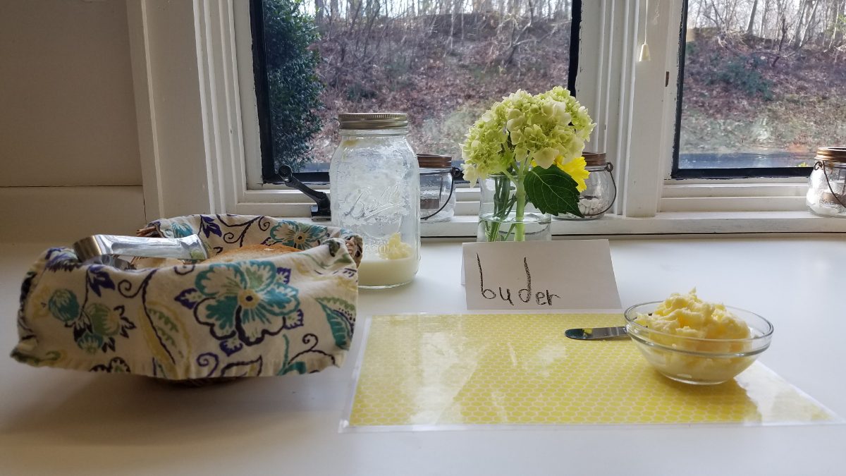
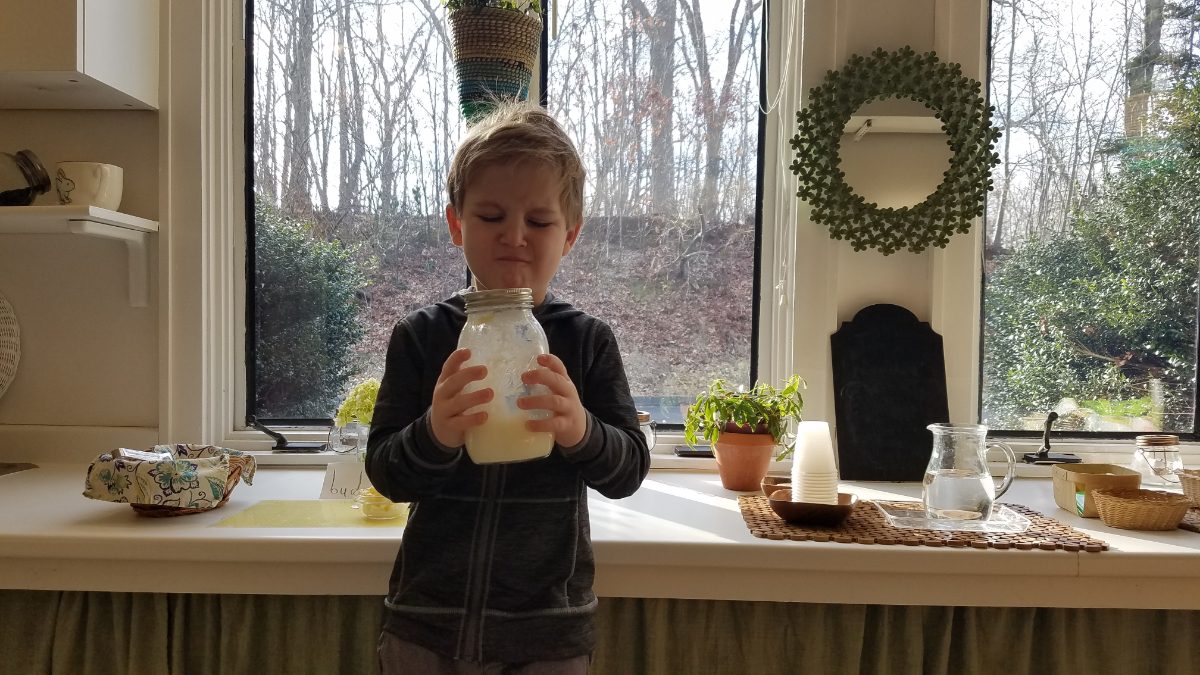
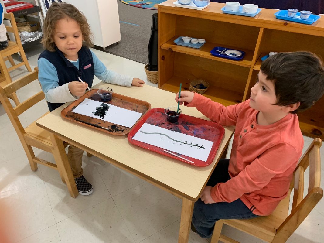
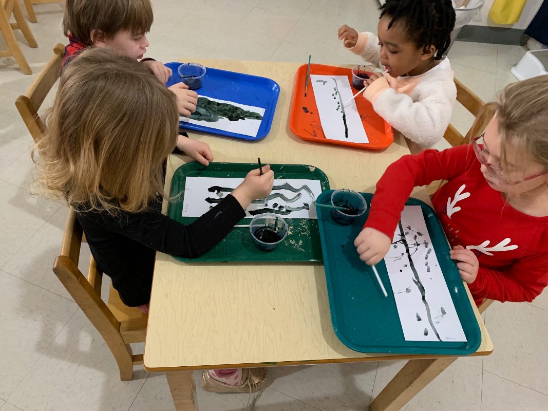
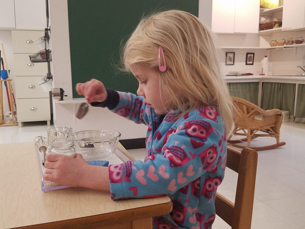
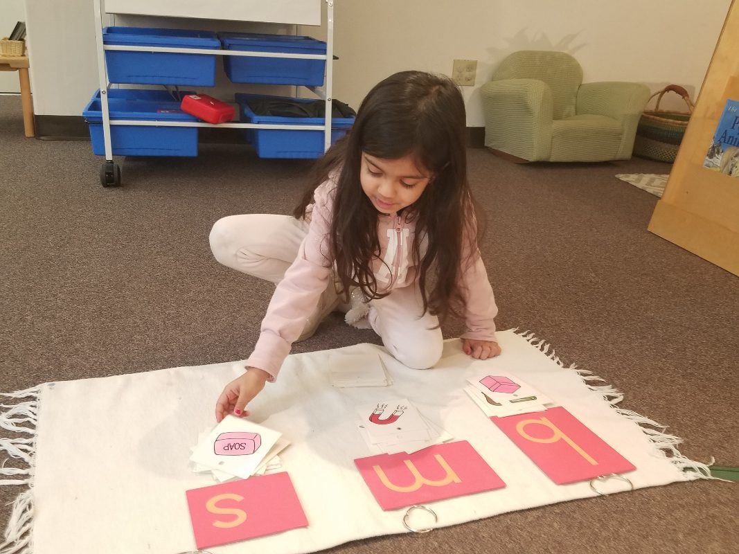
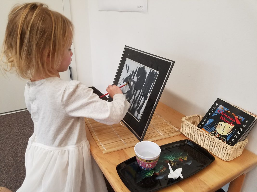
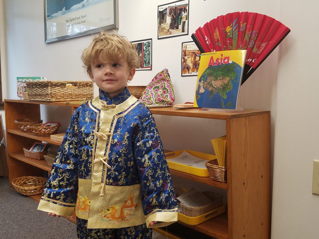
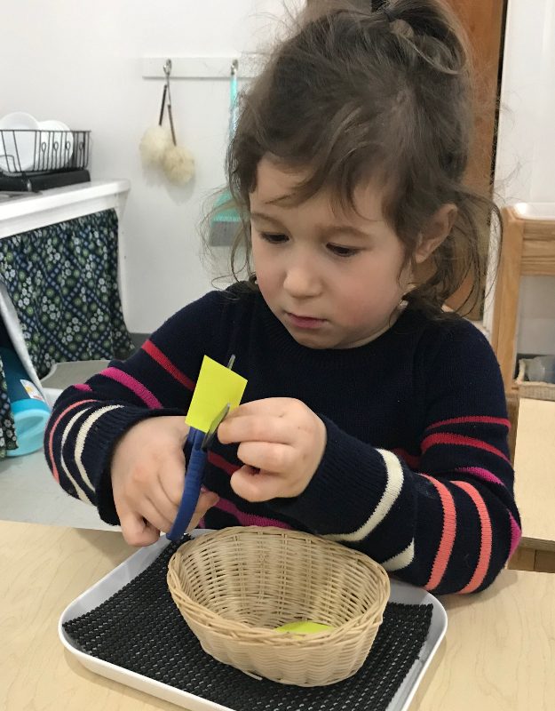
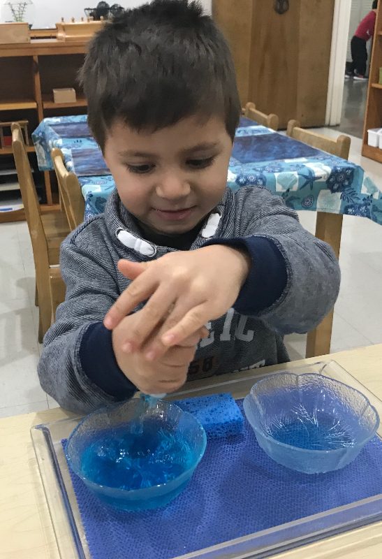
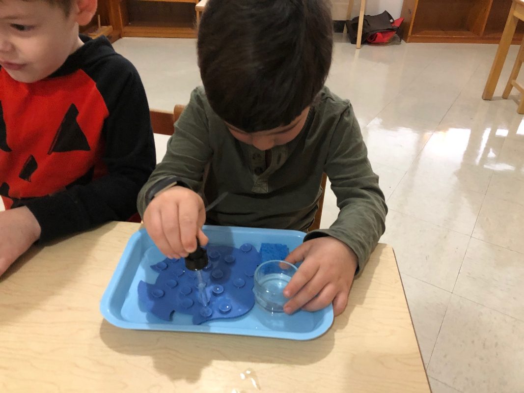
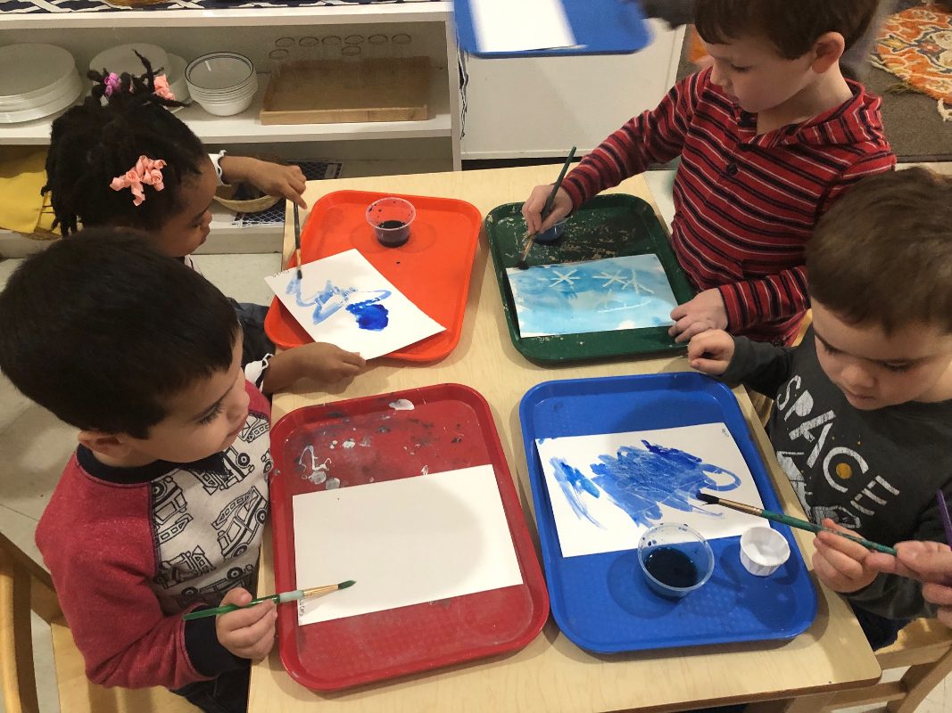
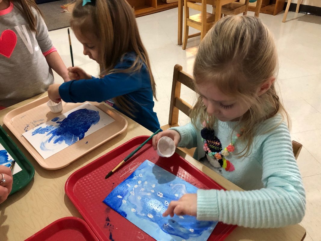
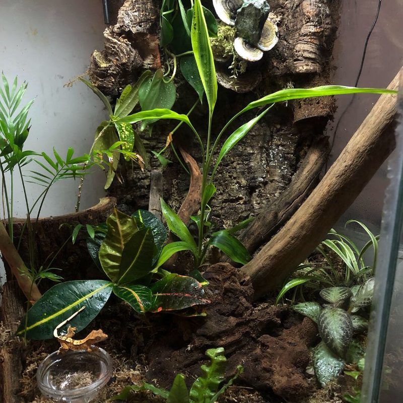
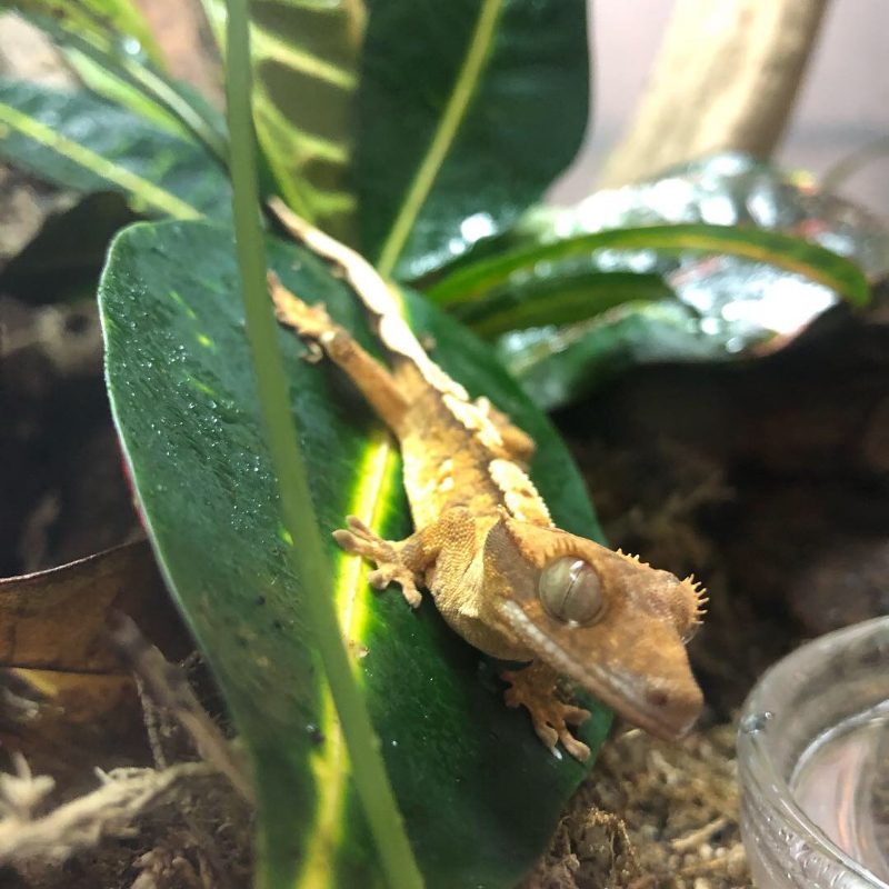
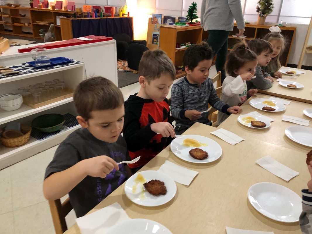
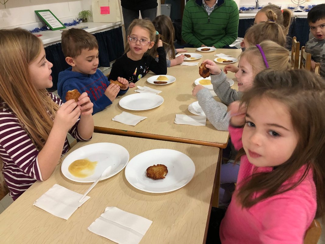
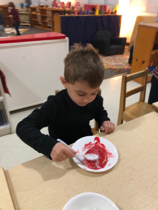
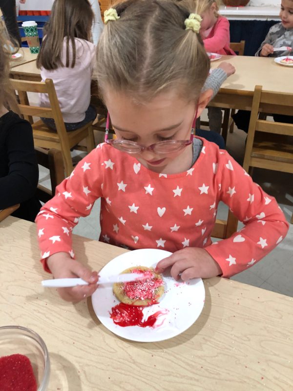
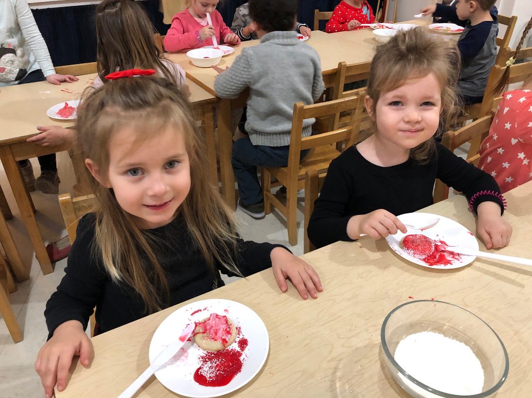
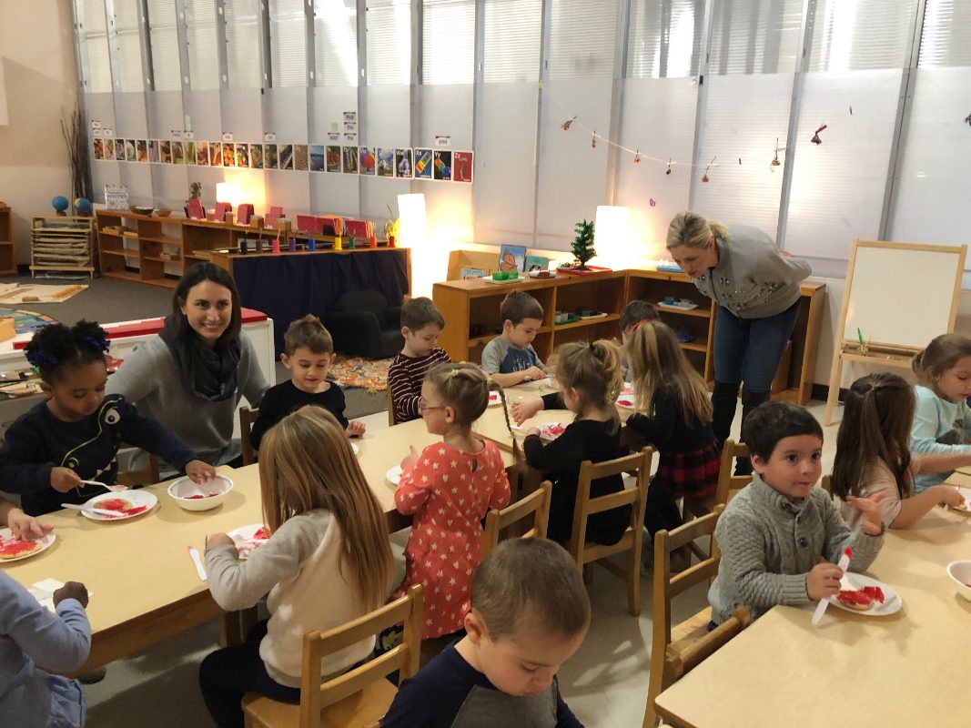
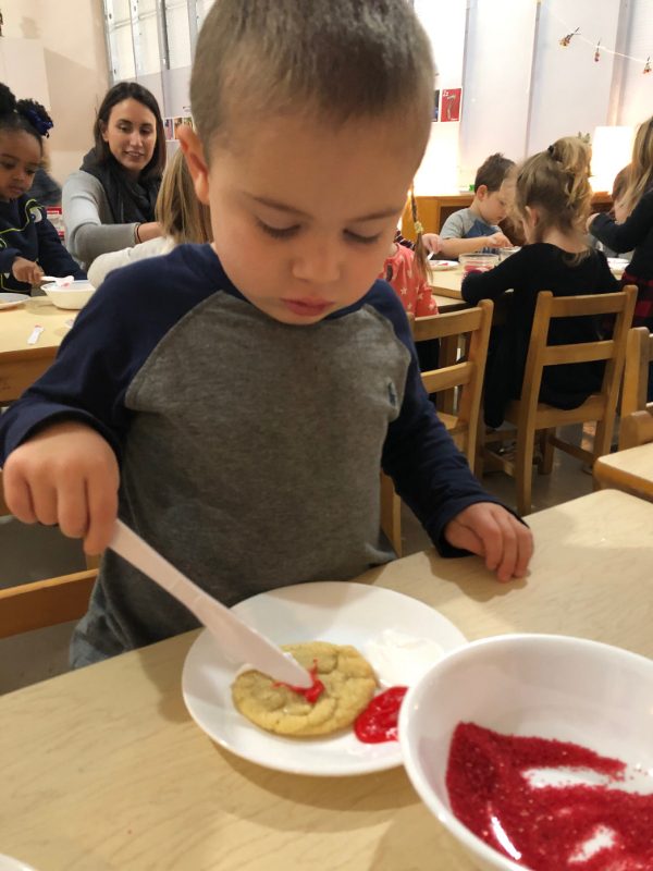
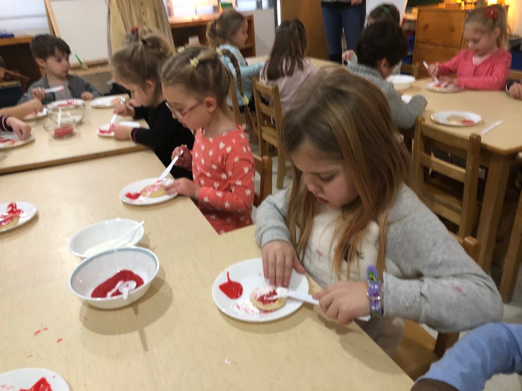
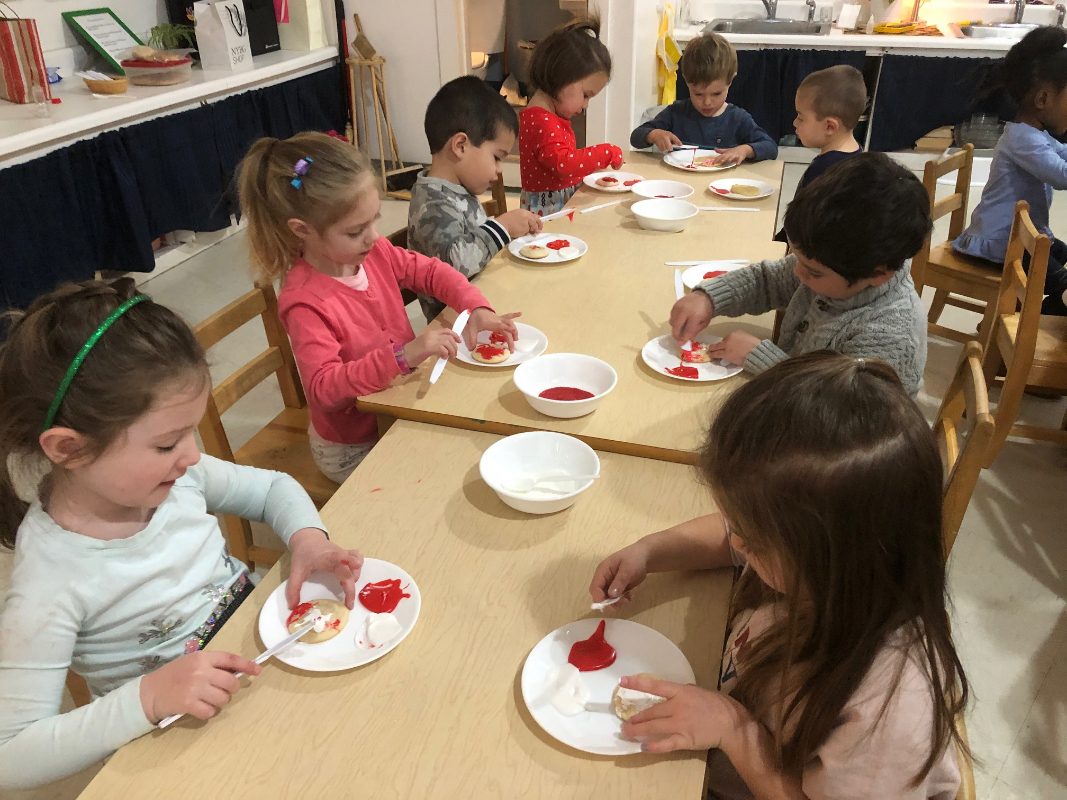
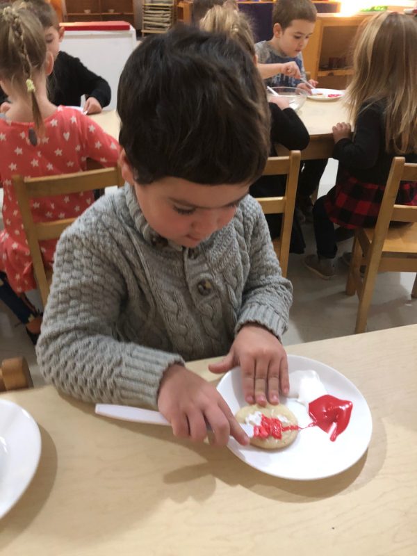
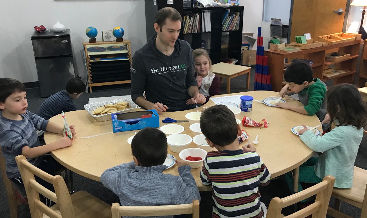
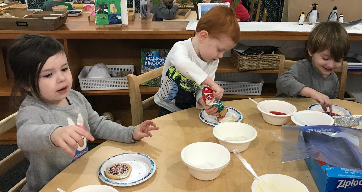
This month in our four year old program, the children have become scientists! They are making hypotheses and carrying out different experiments each week! These afternoons are specifically crafted to be more play-based while still academically leading the child to exciting new discoveries.
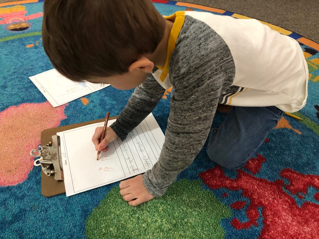
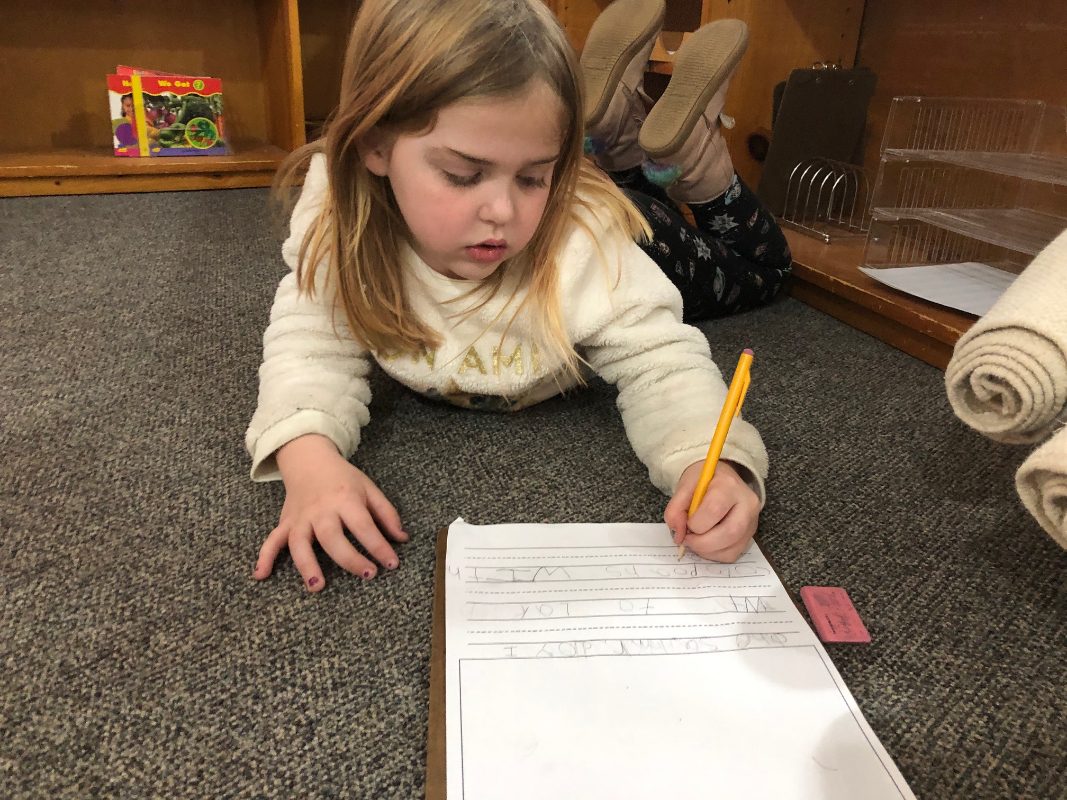
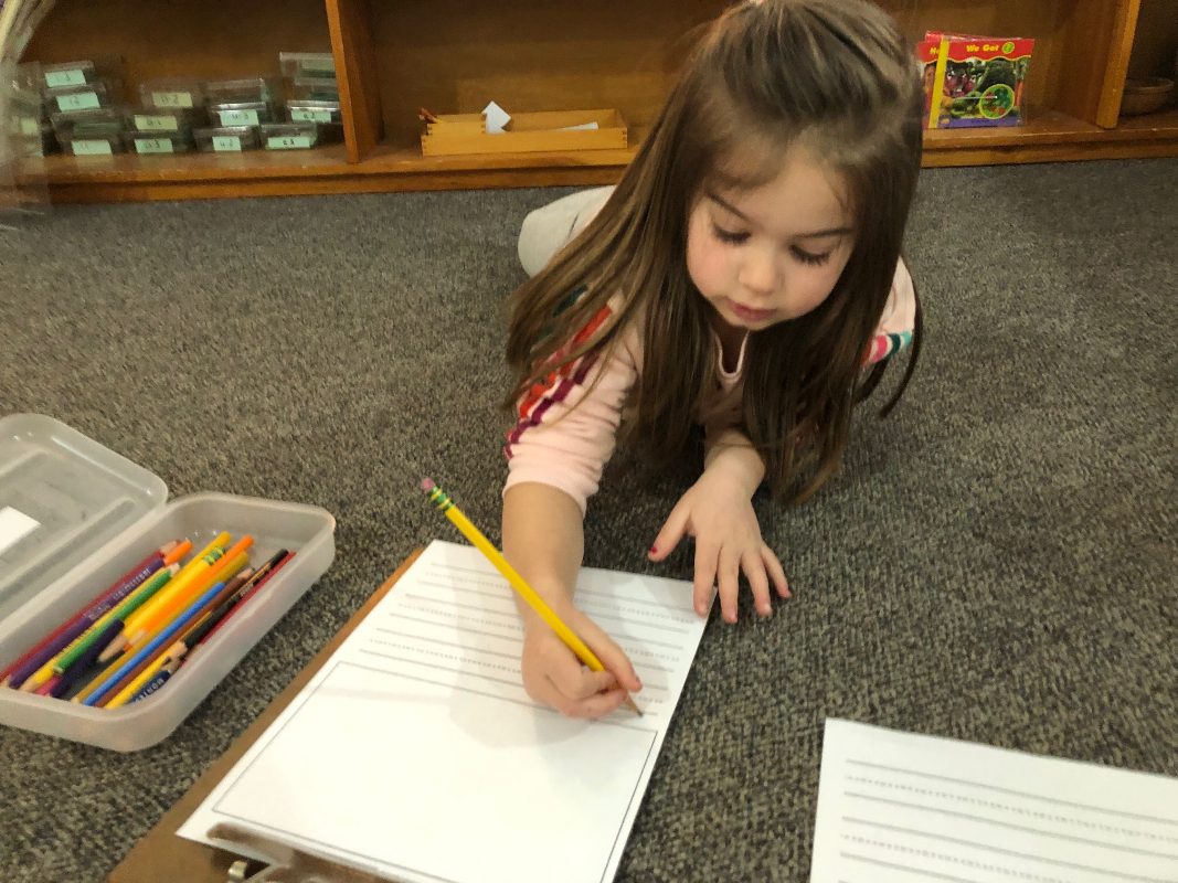
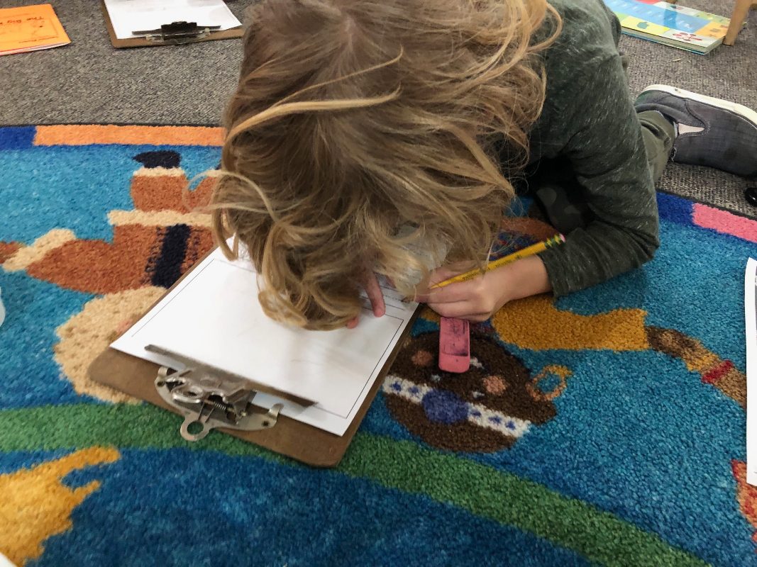
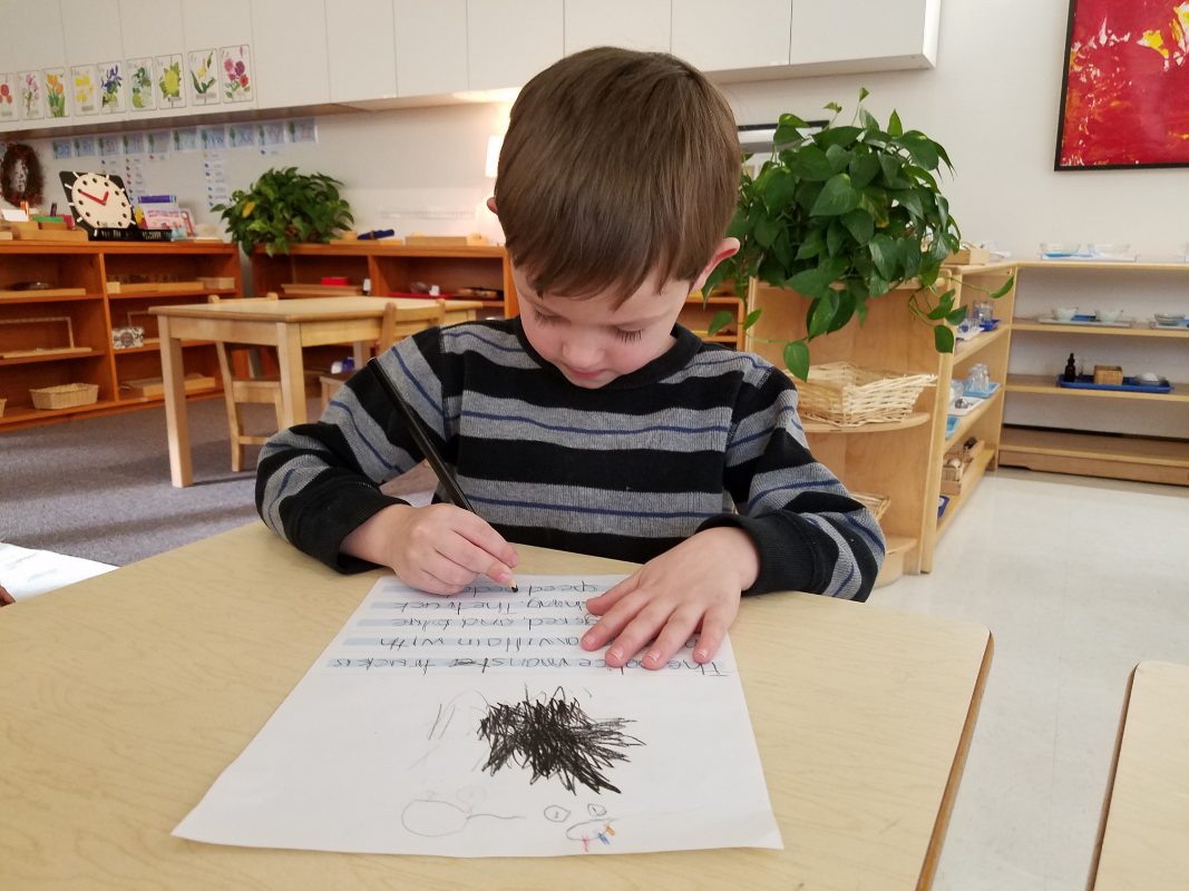
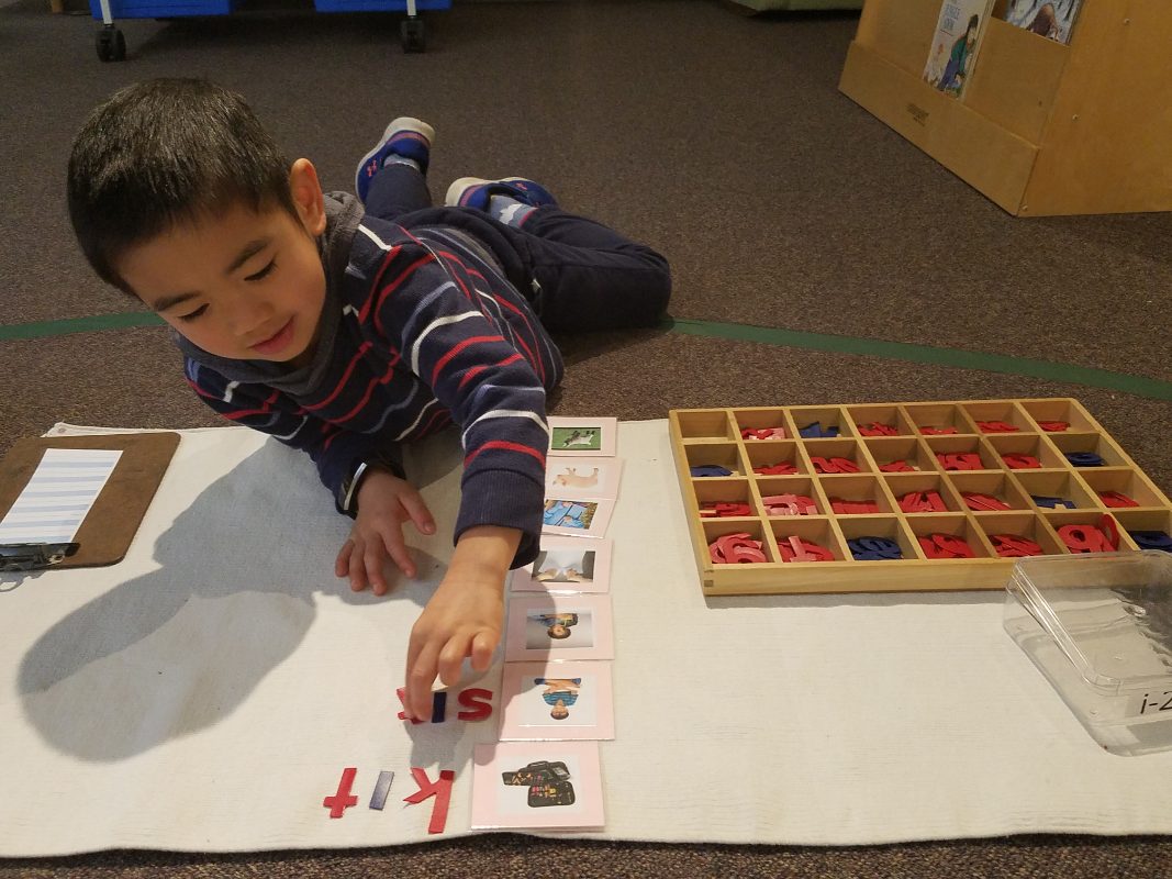
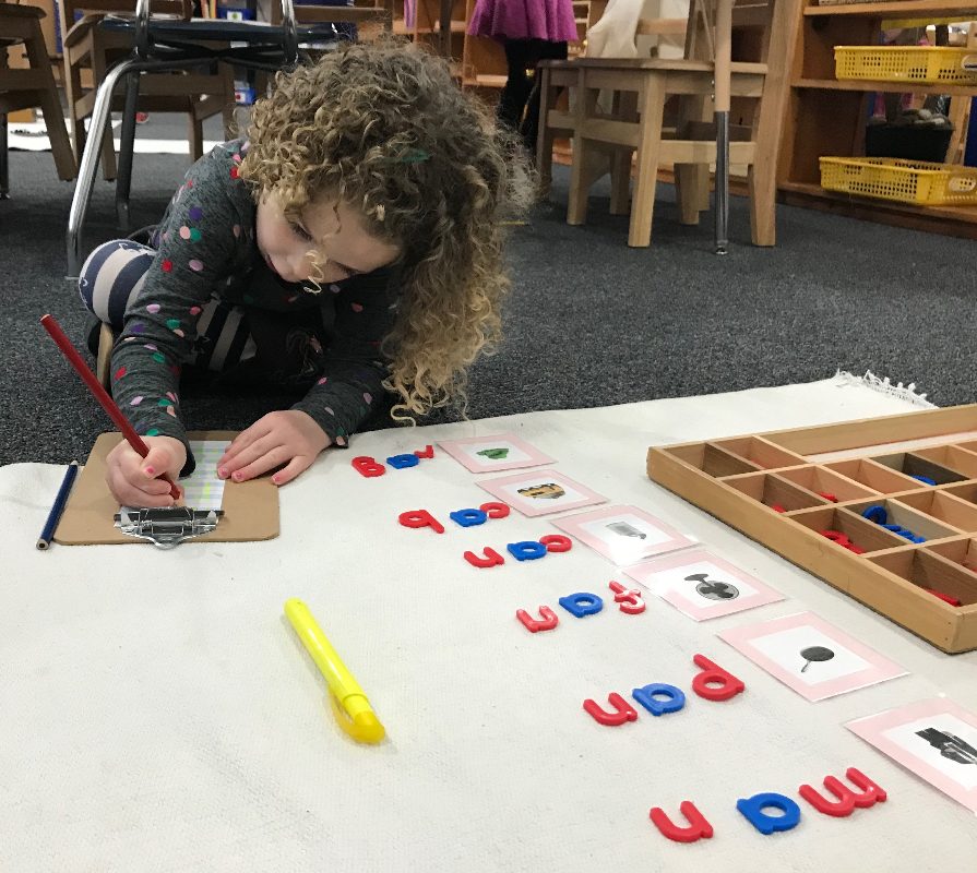
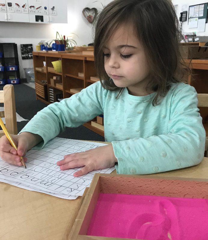
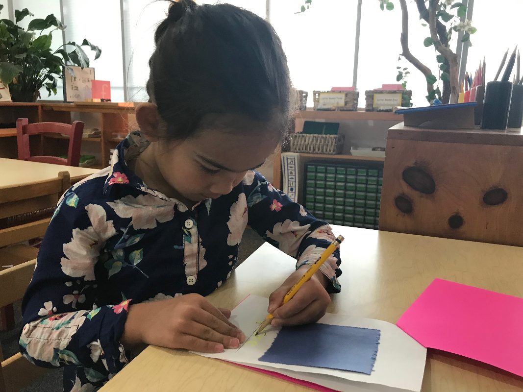
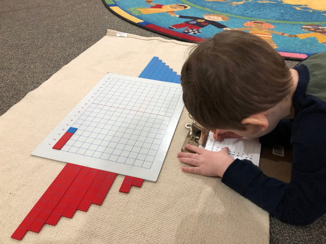
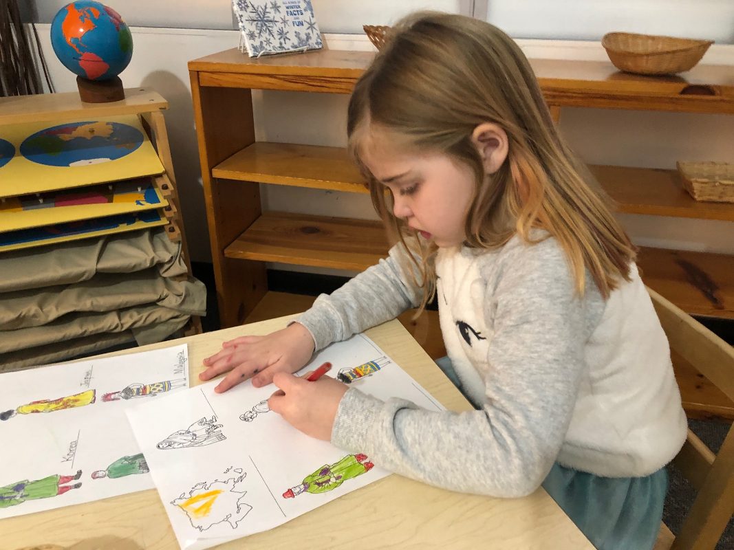
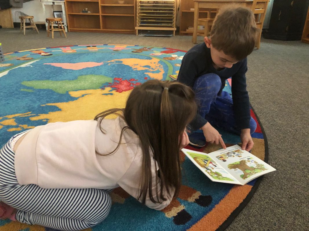
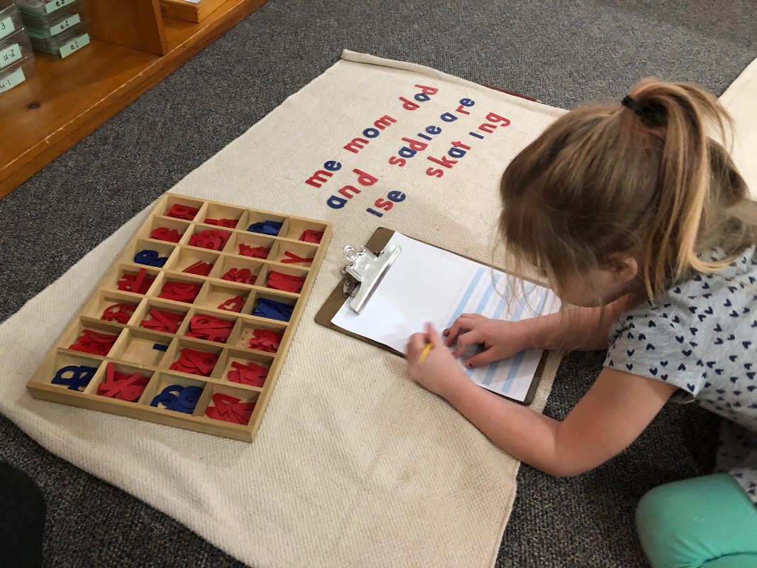
Reading and Writing Workshop is a time for the kindergarten students to really begin flourishing academically. The small group size gives the students time to work with me one on one to refine their individual assets as both readers and writers. It is beautiful to see the growth that our four kindergarten students have made from the beginning of the year. They take so much pride in their writing and reading!
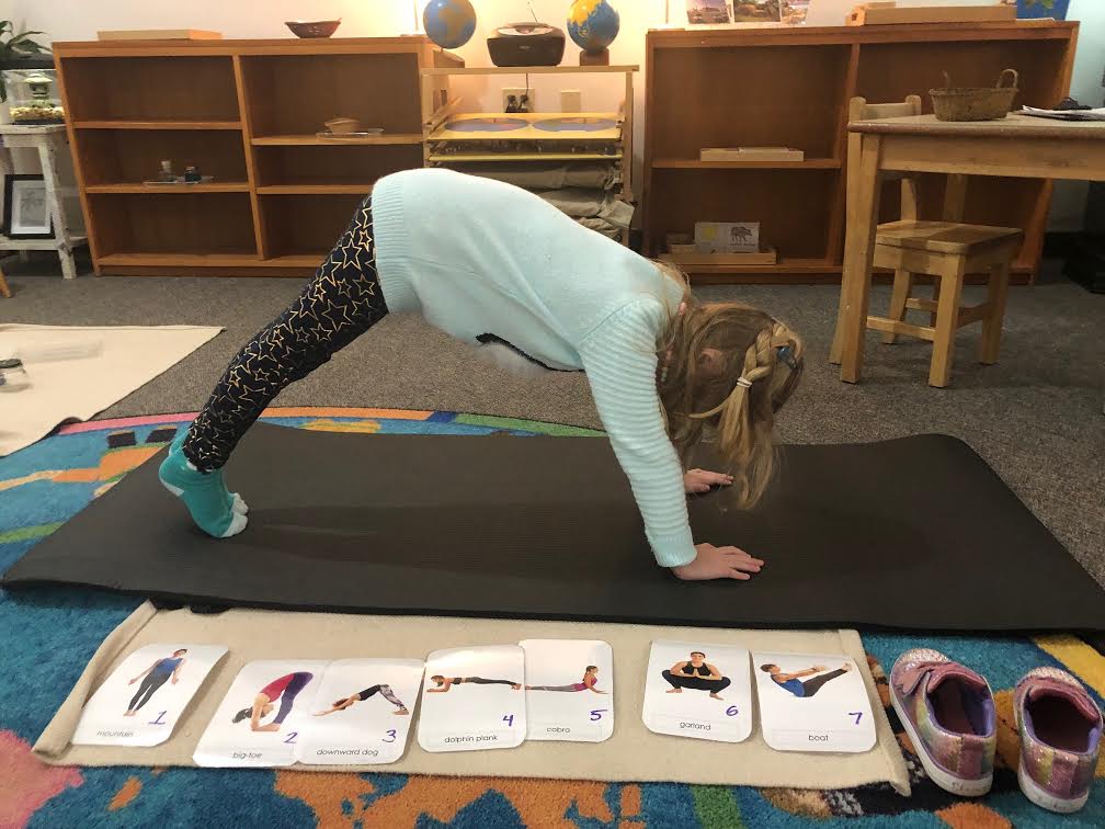
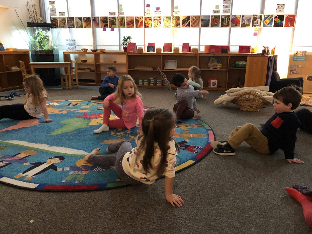
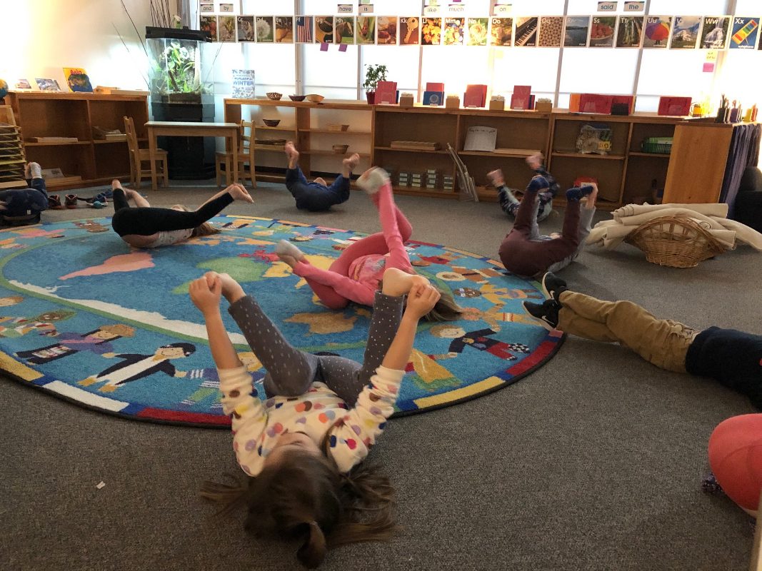
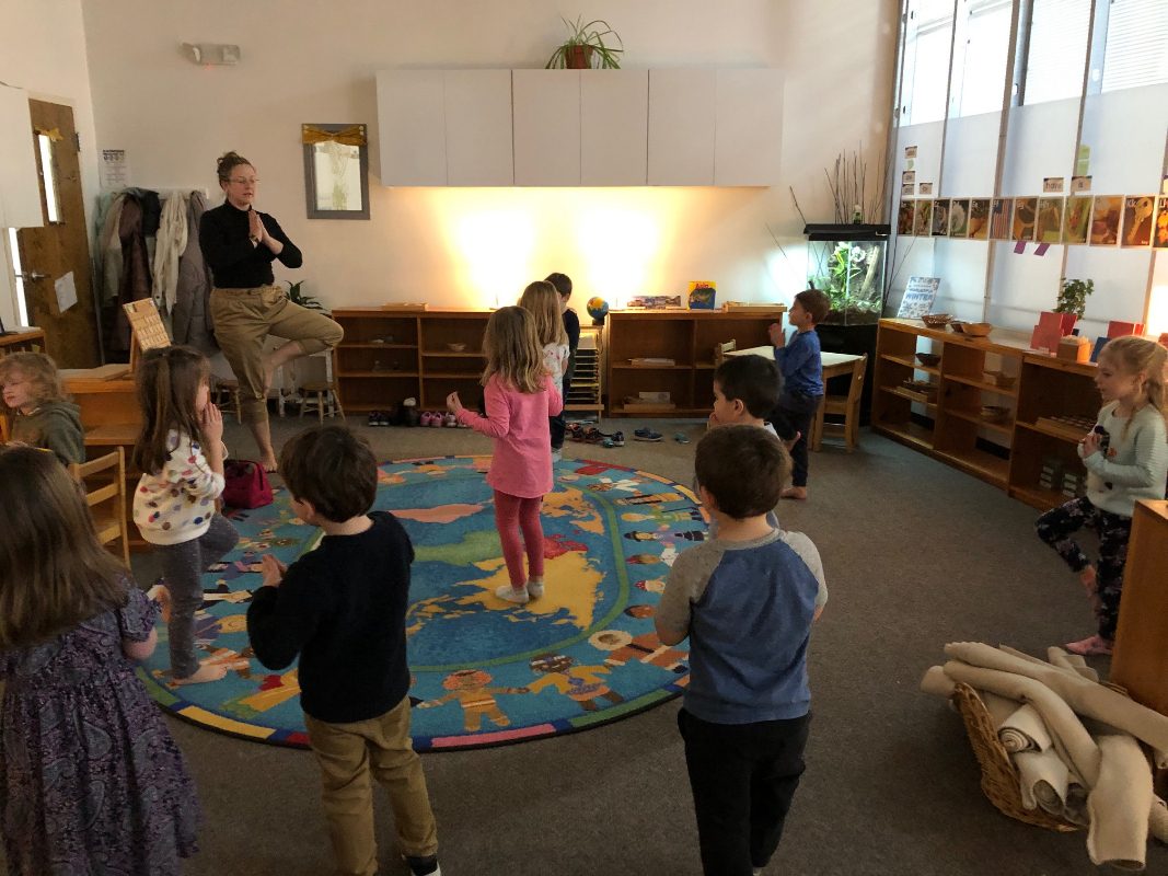
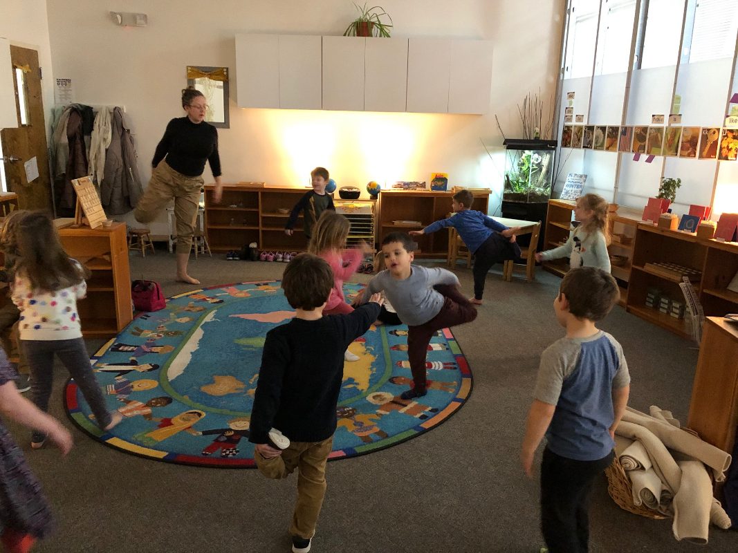
Although it is important for us to spend time in the classroom working with the materials, we feel that movement is essential to the child’s development. If we are unable to go outside at the end of the day, Ms. Alli brings together the whole group to do yoga. She has been practicing with them since the beginning of the year and their control of their bodies has grown stronger and more refined with each passing day. This time is very important to the students because they are able to calm down and concentrate on within rather than what is happening around them. We typically end our yoga sessions with a two to three minute meditation practice to transition the students from yoga to the next activity.
All the best,
Ms. Kayser and Ms. Alli